Actualités
2026-07-07
Our official QGIS plugin is here 🎉
360ForYou Uploader publishes your geodata straight from QGIS to the web — no manual exports, no file juggling. Pick your layers, click Upload, share a link.
What it handles:
🗺 Raster layers → GeoTIFF
📍 Vector layers → KML
☁️ Point clouds → LAS / LAZ / COPC
📂 Plus any files from disk — IFC, E57, panoramas and more
Uploads are resumable and run as a background task, so QGIS stays responsive the whole time. Works with QGIS 3.40+ on both Qt5 and Qt6, free and open source, and connects to our cloud or your own self-hosted server.
Find "360ForYou Uploader" in the QGIS Plugin Manager (tick "Show also experimental plugins" for now) and give it a try.
2026-07-01
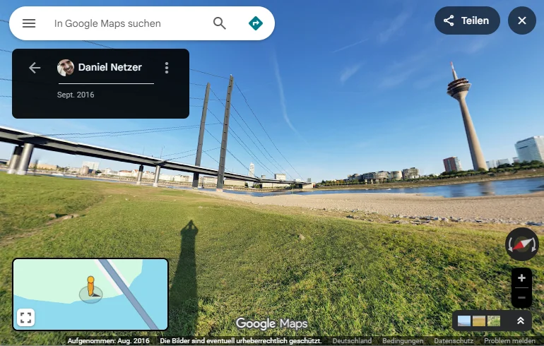
Fully automated project export to Google Maps is now available for all projects with georeferenced virtual tours.
2026-06-25
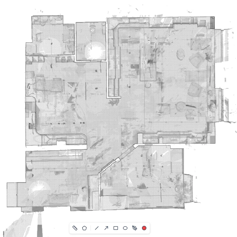
🚀 New X-ray map view is now live!
If you work with Faro scans, this one's for you. The new X-ray display mode gives you a clean, see-through view of your point cloud data — making it easier than ever to navigate floor plans and inspect spatial details at a glance.
Already available on the platform for all new projects with point clouds.
2026-06-22
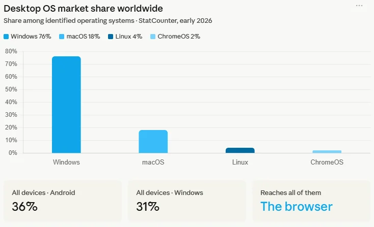
"I can't open your file; I have a Mac." — I'm sure each of you has come across this phrase at some point in your work.
Accessing data through a browser completely eliminates this problem. It doesn't matter what operating system or device the user has — a browser is always available and works anywhere, anytime.
Not sure how to open LGSX on a Mac or Linux? We are here to help.
2026-06-20
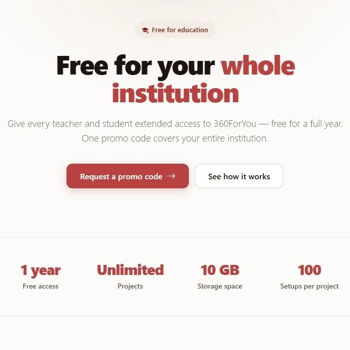
🎓 Free for your whole institution!
360-for-you is already partnering with Hochschule Bielefeld, and we're excited to invite other educational institutions to take advantage of the same opportunity: free access to the most customer-centric platform for Virtual Tours, Point Clouds, 3DGS, BIM and VR — for teachers and students alike.
Bring hands-on spatial and immersive technology into your classrooms and give your students real-world tools to learn with.
Apply now on our website under the "For educational institutions" section.
2026-06-09
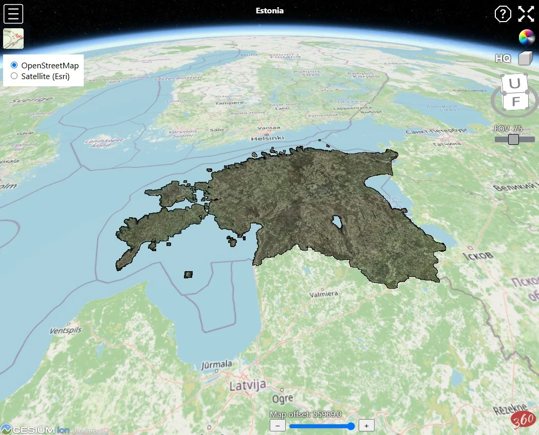
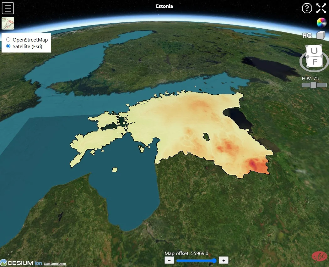
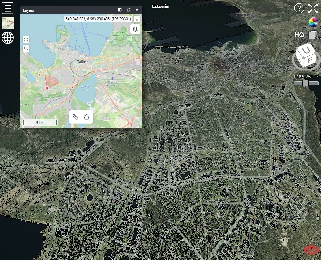
🌍 A point cloud of an entire country! Wow!
Recently I came across a post on LinkedIn where someone wrote that they couldn't work with a point cloud containing 4+ billion points. I'll admit I was surprised — users of the website have occasionally uploaded point clouds with over 10 billion points.
I wanted to find a good example to demonstrate this, and I found one: the Estonian land survey publishes LAZ files covering the entire country on their website, one file per square kilometer. I downloaded 45,646 LAZ files — 48.5 GB total, 3.7 billion points. I simply uploaded them to 360-for-you. Voilà! ✨
I took a couple of screenshots, and the link to the project — feel free to try it yourself.
If your projects are big but your budget is small, 360-for-you is the best choice. 🚀
2026-06-05

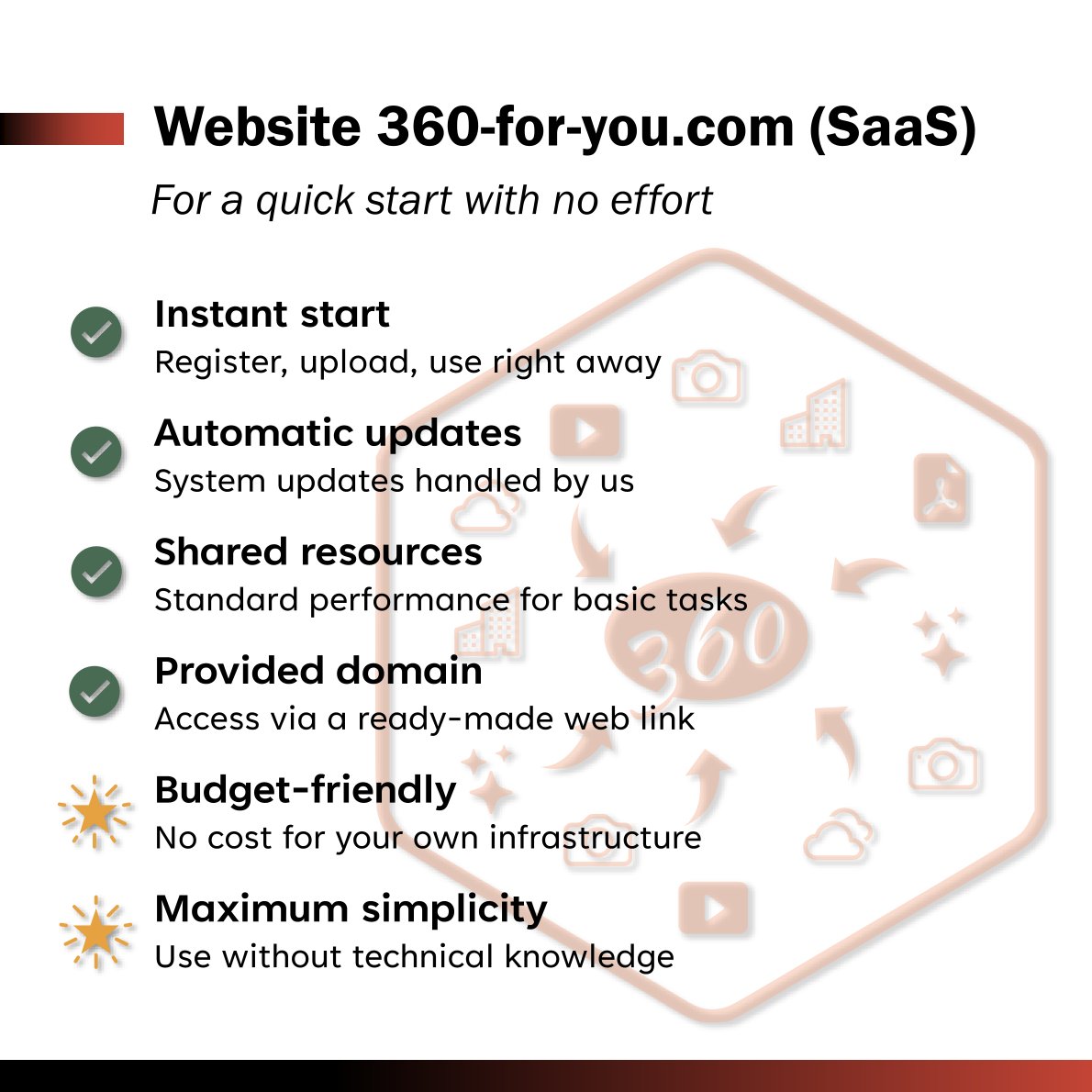
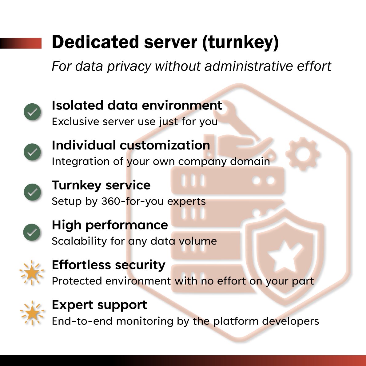
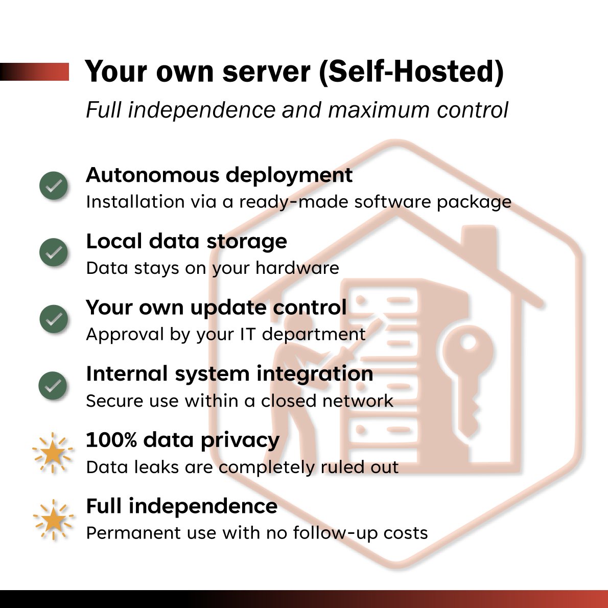
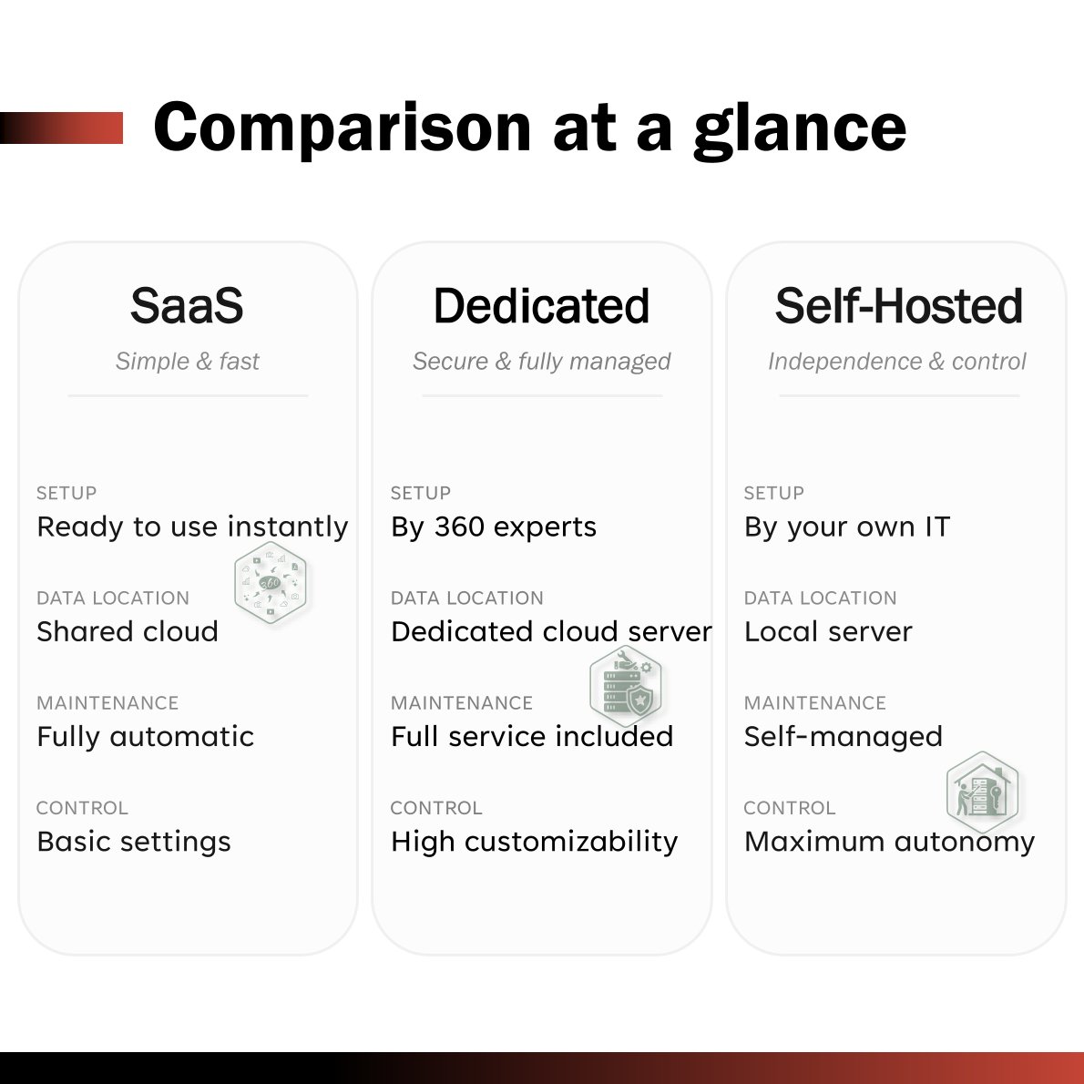
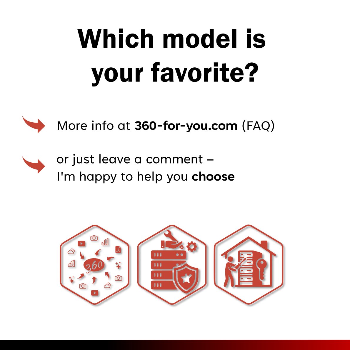
Which hosting model is the right fit for your business?
Every project is unique. That’s why we at 360-for-you.com offer three flexible deployment options. Let’s compare their key features so you can find the perfect balance of speed, control, and data privacy.
Check out this quick overview to see how you can get the most out of your project
2026-06-02
🚀 Two new features dropped at once. First — normals (import from ReCap and E57). Second — a deviation mode (how points deviate from the RVT/IFC model), with a scale you can adjust in real time, plus an option to clip points outside the scale range.
2026-06-01
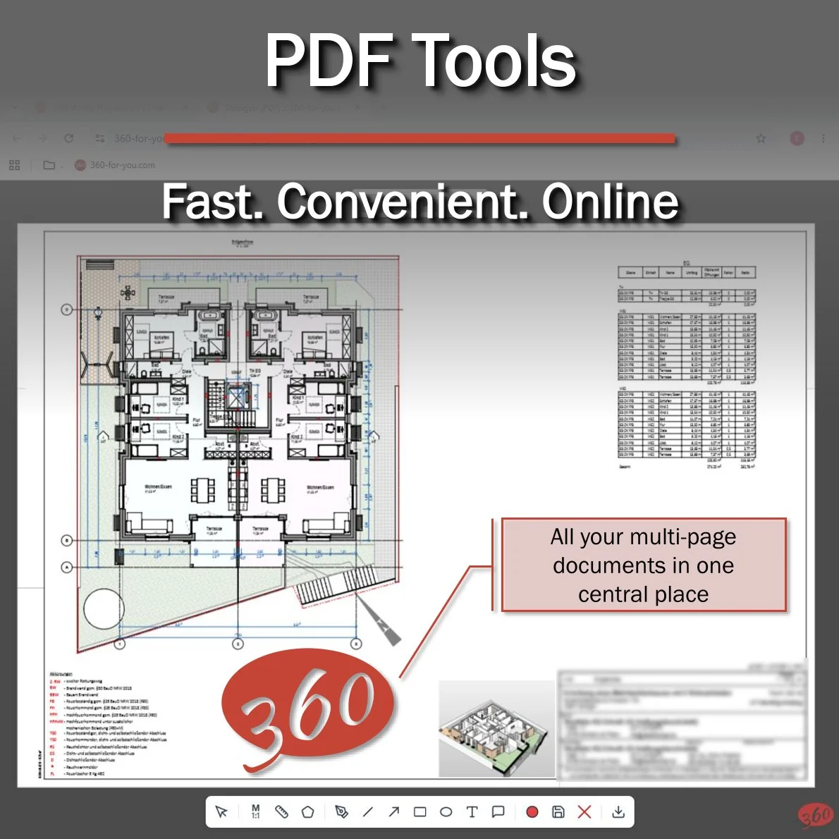
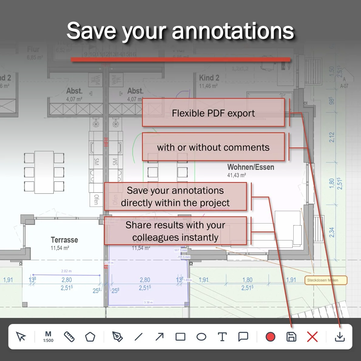
This March, we exhibited for the very first time. We came to show off our online viewer for virtual tours, point clouds, meshes, and 3D models. Over 3 days, we ran around 50 product demos.
And the most common request? I'll be honest, it caught me off guard. It went something like this: "We need to upload PDFs to measure distances and areas."
Maybe it was because the Bluebeam booth was right next to ours? 🤔
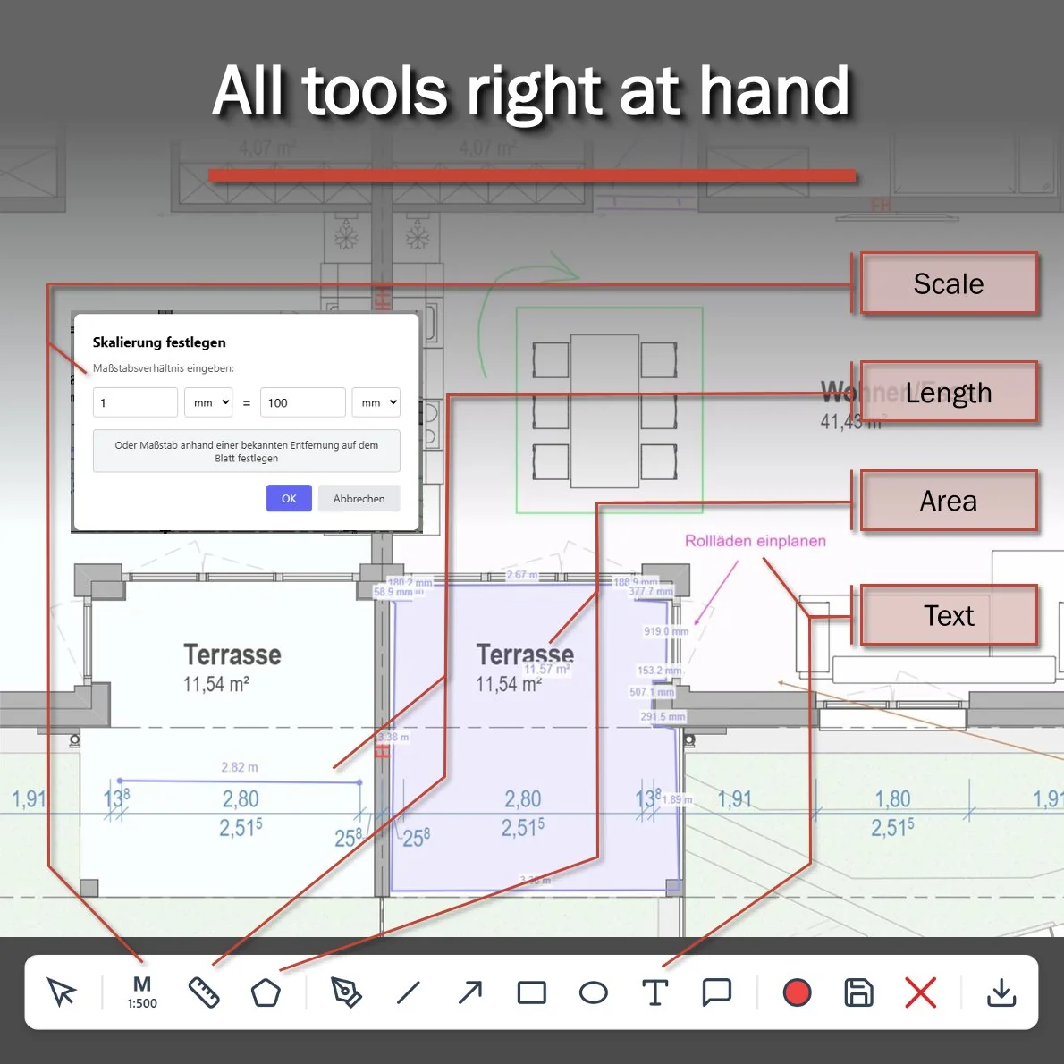
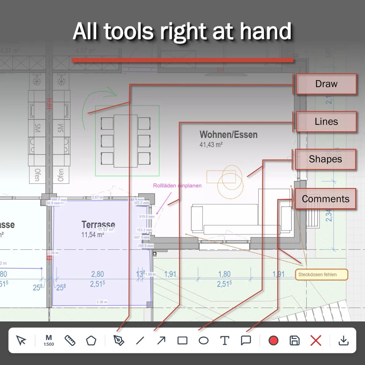
Either way, once the dust settled and I'd had a little rest, I sat down and built it: a clean, easy-to-use online PDF viewer with scaling, measurements, and annotations. You can save everything to the server or just download the file to your own drive. I'm really proud of how it turned out.
So now the 360-for-you family has a new data block. Here's everything the platform supports today:
📍 Virtual tours (auto-generated from any laser scan data)
☁️ Point clouds (literally every file format out there)
🧩 Meshes (OBJ, GLB, STL, and more)
✨ 3D Gaussian Splatting (PLY, SPZ, SPLAT, KSPLAT, SOG)
🏗️ 3D models (including RVT, IFC, and many others)
🎥 360° video with track-to-map linking
📄 PDFs with annotations
🗺️ GeoTIFF with KML/KMZ annotation support
And all of it runs beautifully on any computer or mobile phone.
For larger enterprises, we also offer a self-hosted version.
2026-05-29
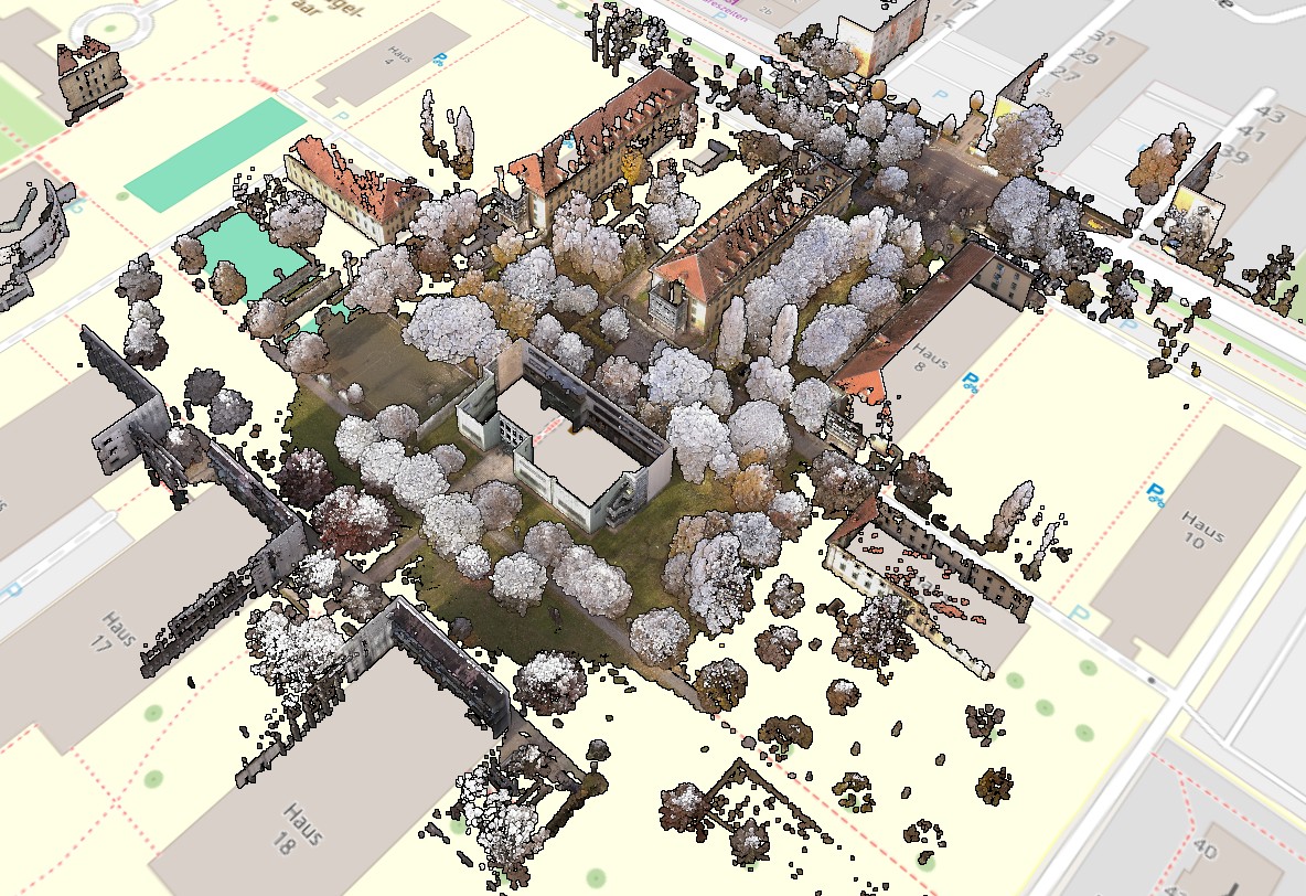
Point clouds. Literally any format. Any size (10+ billion points—no problem). Online, opens instantly in any browser on any device, even on a low-end mobile phone with a slow internet connection. Renders without any lag whatsoever. Built-in panoramas, just like in ReCap. Displayed over OSM/Satellite layers. Can be combined with RVT/IFC, calculate point deviations. All necessary features—measurements, cross-sections, etc. First test project—free, with almost no restrictions. Welcome!
2026-05-20
Sometimes a small software update completely transforms your daily workflow — and the latest one in 360-for-you is exactly that kind of update.
It's all about the project map, now unified across all viewing modes. Two things really stand out:
🔄 Full Synchronization — Rotate the map, take measurements, or toggle station visibility. Every action is saved and instantly carries over when you switch between virtual tours and point cloud views.
🖥️ Dual-Monitor Workflow — "Pop out" the map into a separate browser tab or second screen. It stays fully interactive and syncs with the main project in real time.
For large, complex projects, this is a massive time-saver and a serious productivity boost.
Huge thanks to Lieven Beuckx for the project captured with NavVis equipment and featured in the video — much appreciated! 🙌
2026-05-19

MQTT broker and topic subscriptions are now available to all users. You can now stream live sensor data straight into your virtual tours
2026-04-25
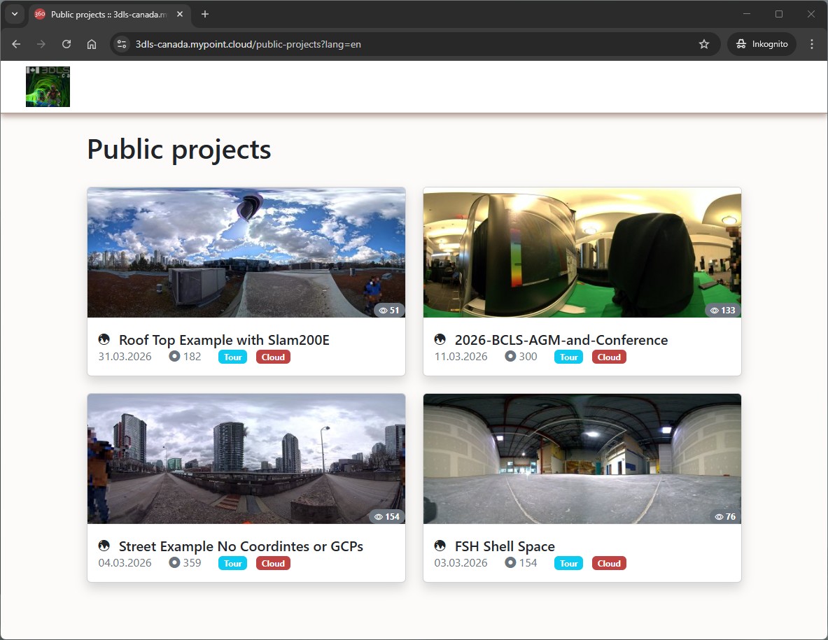
On 360-for-you, every user can build their own branded portfolio — complete with your organization's logo and hosted on a custom subdomain like your-company-name.mypoint.cloud, for example: https://3dls-canada.mypoint.cloud/public-projects
2026-04-24
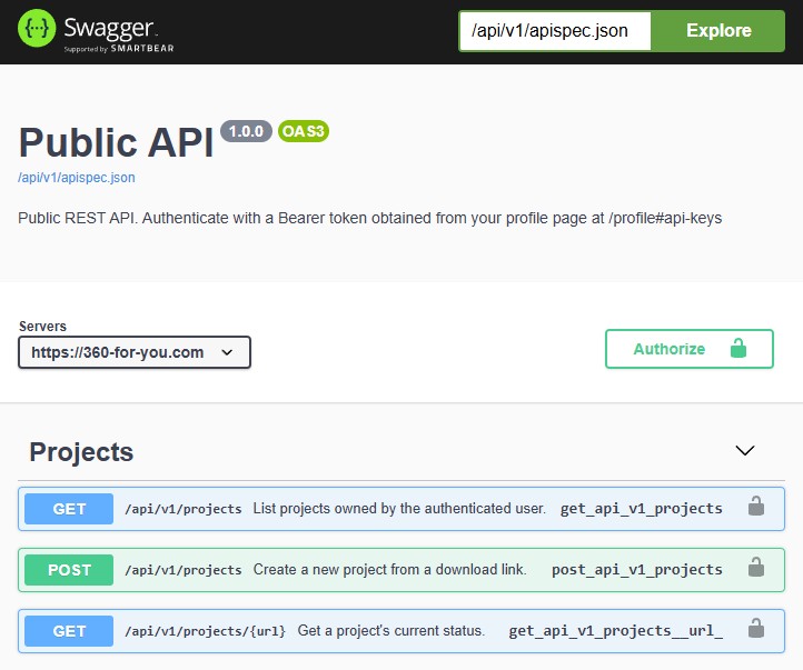
🚀 A new milestone for 360-for-you: our public REST API is here! The platform is growing up, and this release marks a significant step in that journey.
We live in an age where almost everything can — and should — be automated. With the new REST API, 360-for-you fits naturally into your automation stack. No more manual clicks, no more context switching: you can now plug 360-for-you directly into your own pipelines and workflows.
What this means for you:
→ List and manage your projects programmatically
→ Kick off new projects straight from a download link
→ Track project status in real time — from your own tools
Authentication is straightforward with a Bearer token you can generate on your profile page, and the full spec is documented with Swagger / OpenAPI 3, so integration should feel familiar from the first request.
This is just the beginning. We'd love to hear what you build with it — and what endpoints you'd like to see next.
2026-04-21
360-for-you now supports 360° video. Uploads are automatically transcoded into 1080p, 2K, 4K, and 5.7K variants, so playback stays smooth on any connection
2026-04-19

Support for KML/KMZ has been implemented
2026-04-16
Just two days ago, Spark.js introduced a major breakthrough for 3D Gaussian Splatting: version 2 of the library now supports LOD and streaming of huge files in small chunks right out of the box. The result is near-instant model loading, even on very low-end devices. I was genuinely amazed to see the model from the video — an original 1.8 GB PLY file — open on my budget phone in just a few seconds, with smooth navigation and no visible graphics lag. If you would like to try it yourself, you are very welcome to test it on the website.
2026-04-09

The site supports PDF files with convenient features for setting the zoom level, making linear measurements and area measurements, and a wide range of annotation tools
2026-03-19
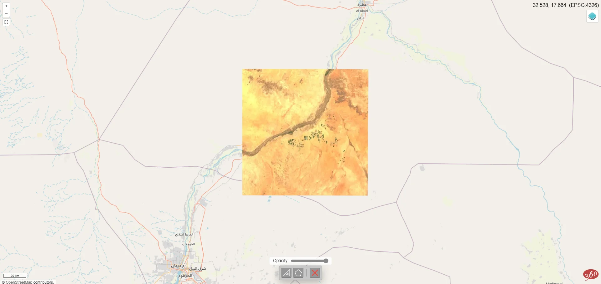
Basic GeoTIFF support is implemented on the website
2026-03-11
The list of formats supported by the website now includes STL