We use only the essential cookies. Privacy policy
Create awesome virtual tours or point clouds with us in few minutes!
360-for-you: Explore places without leaving your seat, and share your insights with colleagues
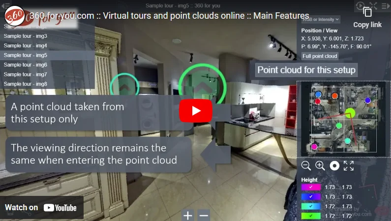
To automatically create a virtual tour or point cloud
Upload one of these
- LGSX LGS RCP E57 LAS LAZ PTX PTS XYZ IFC
- Export from Leica Cyclone REGISTER 360 PLUS
- Export from Z+F LaserControl®
- Export from Trimble RealWorks
- JPG (with GPS data in EXIF)
Get the finished result
- Virtual tour
- Point cloud
- CAD
- more details see in FAQ
Check out other projects shared by our users: Public projects
Our advantages
- The tour is created automatically
- Data can be uploaded from any laser scanners supporting the specified formats
- No need to install any additional software
- The tour can be viewed from any device with an internet browser installed
Additional features
- Virtual tour viewing is available both online and offline
- Generating a link with a specified view direction
- Automatic detection and blurring of people and cars entering the shooting area
- Creating comments directly within the tour
730 users have posted 6155 projects containing 291359 setups on our website
Any questions?
- If you have any questions, we will be glad to answer:
- info@360-for-you.com
